SUPARCO to host UN–Pakistan space technology conference in Islamabad from tomorrow, with 250 experts to discuss satellite early warnings
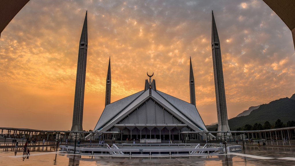
Faisal Mosque, Islamabad. (Photo: Ali Mujtaba / Wikimedia Commons)
ISLAMABAD: Space technology is no longer just a story about rockets and satellites. For Pakistan, it has become a practical question: can a satellite passing overhead every day warn a village about a flood in time? That question is at the heart of a five-day international conference opening in Islamabad tomorrow, October 27, hosted by the Pakistan Space and Upper Atmosphere Research Commission (SUPARCO) and running until October 31.
The full title is a mouthful — the United Nations–Pakistan International Conference on Leveraging Space Technology for Early Warning for All (EW4All), Climate Action and Disaster Risk Assessment — but its purpose is straightforward. Around 200 to 250 national and international participants are expected, including 60 to 70 international delegates and roughly 150 Pakistani participants. Federal Minister for Planning Ahsan Iqbal will be the chief guest at the opening ceremony. The conference is co-sponsored by the United Nations Office for Outer Space Affairs (UNOOSA) through its UN-SPIDER programme, the Asia-Pacific Space Cooperation Organization (APSCO) and the Inter-Islamic Network on Space Sciences and Technology (ISNET).
Making warnings reach people in time
The central problem the conference tackles is a frustrating one: satellites already watch the Earth daily, yet warnings about floods, droughts and heatwaves still reach ordinary people too late, or not at all. Delegates will look at how satellite observations, Earth observation data and geospatial tools can tighten all four links of the warning chain — understanding the risk, monitoring the hazard, communicating the warning, and preparing to respond. Sessions will also cover monitoring water resources, agriculture, forests and environmental change, with a special focus on the UN’s Early Warnings for All initiative, which aims to have every person on Earth covered by an early-warning system by the end of 2027.
For Pakistan, this is far from academic. Floods and extreme weather in recent years have cost lives and livelihoods, and the organisers say the conference is meant to strengthen the country’s capacity to use space-based information in real decisions — not just in research papers. The event closes on October 31 with a closing ceremony and a technical visit to the National Disaster Management Authority (NDMA), where delegates will see how satellite data is actually applied in disaster management.