Karachi Mangrove Loss Raises Flood and Erosion Risks as Satellite Images Show 25 Years of Change Along the Coast
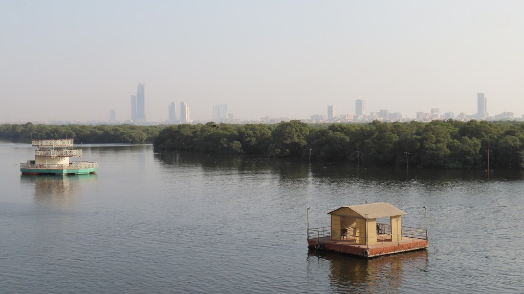
Karachi: The change along the city’s coast happened quietly, year by year, but from space there is no hiding it. Suparco says that near the Mai Kolachi Bypass, between 2000 and 2025, mangrove forests and natural tidal creeks steadily gave way to reclaimed land and urban plots. The space agency calls it a shift away from ecosystem-based coastal protection towards hard, land-intensive development.
What these trees actually do for the city
Mangroves are not just greenery. Their roots weaken storm surges, hold the shoreline against erosion, trap sediment and absorb carbon from the air, while fish and other marine life breed in their shade. Remove them, Suparco warns, and the risks move closer to home: localised flooding, an unstable shoreline and long-term land subsidence, at a time when rising seas and extreme weather are already pressing on the coast. Unlike concrete, a mangrove barrier can regenerate and grow stronger; a built one only ages.
One stretch of coast tells a different story
At Shah Bandar in Sujawal, satellite imagery from 2019 to 2026 recorded a 115 percent increase in mangrove cover, with more than 151 hectares of new vegetation. Climate policy specialist Mohammad Saleem Shaikh has urged the federal and Sindh governments to stop encroachment, require full environmental assessments for coastal projects and restore mangroves with native species and community involvement. Senator Sherry Rehman, who chairs the Senate climate change committee, declined to comment, and Karachi Mayor Murtaza Wahab did not respond to messages.